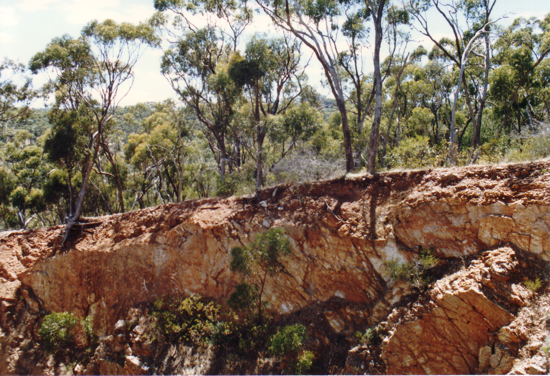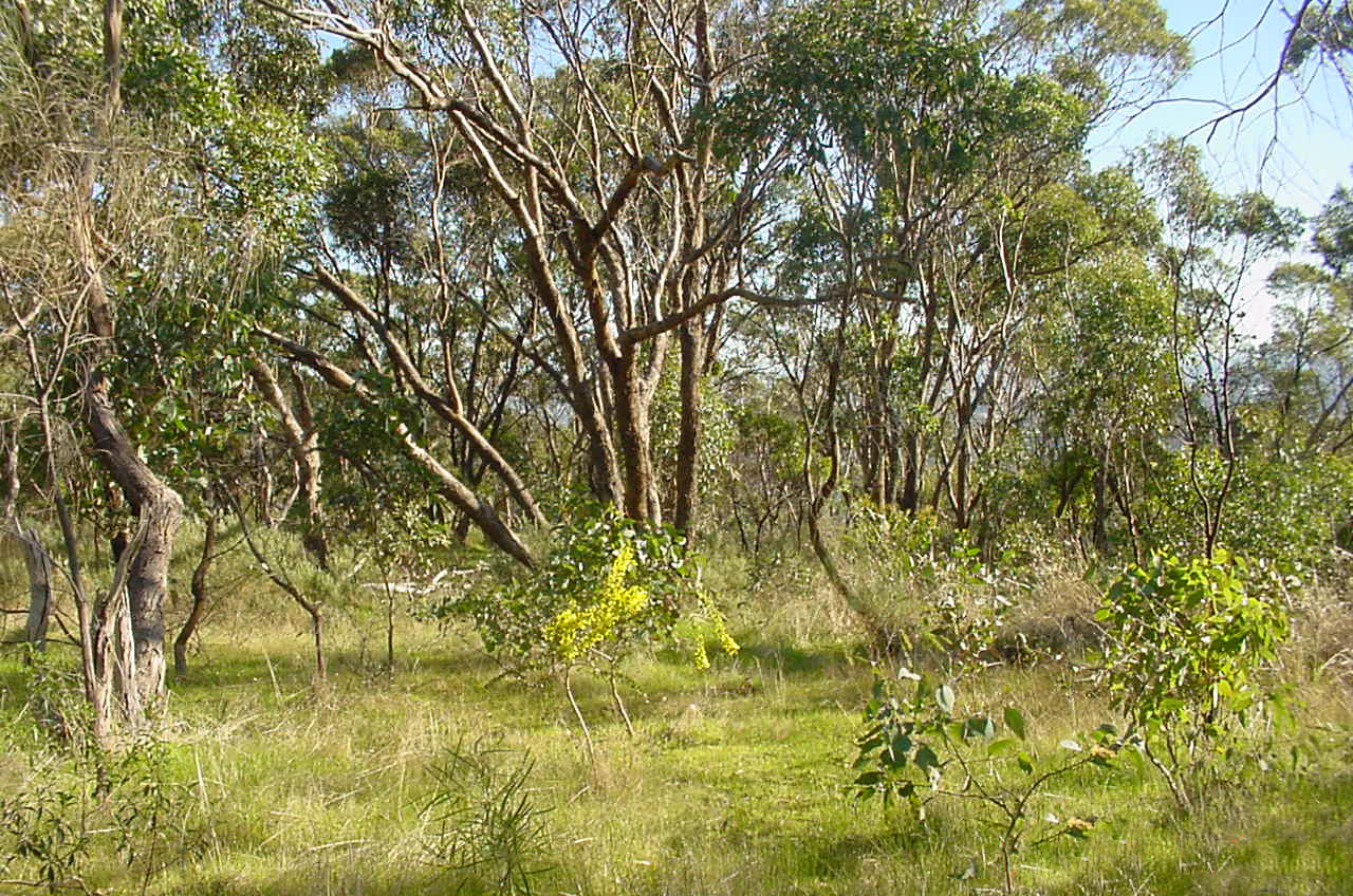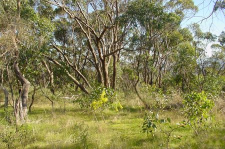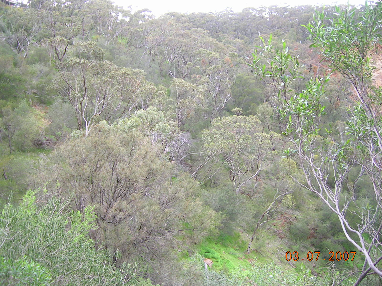
Sleeps Hill Quarry Reserve consists of approximately sixty-nine hectares which includes Council's former operations depot and landfill.
Sleeps Hill Quarry Reserve consists of approximately sixty-nine hectares which includes Council's former operations depot and landfill. The southern section of Sleeps Hill Quarry Reserve is amongst the largest of City of Mitcham's undeveloped woodland reserves with an area of approximately thirty-three hectares. It is situated approximately 1.5 kilometres south-west of the Belair Country Fire Service station. The reserve is irregular in shape with residential development on its north-eastern, eastern and southern boundaries. The majority of its northern boundary is adjacent to the former Lynton landfill. The Trans Adelaide railway forms the reserve's western boundary. Sleeps Hill Quarry Reserve is part of a larger network of undeveloped woodland reserves across the Mitcham Hills such as Ashby Reserve, Watiparinga National Trust Reserve, Sleeps Hill Reserve (west of railway line), Windy Point, Randell Park and Shepherds Hill Recreation Park.
Watiparinga and Ashby Reserve are in close proximity to Sleeps Hill Quarry Reserve and share many similarities such as vegetation associations.
During the mid 1800s, land in the southern section of Sleeps Hill Quarry was held by absentee landholders and rented out to small scale farmers. Later, land was leased or purchased for quarrying which commenced during the late 1800s. The reserve is known locally as "Sleeps Hill Quarry Reserve" and contains the "Sleeps Hill Quarries Interpretive Trail."
A Sleeps Hill Quarry Reserve Maintenance Plan has been developed to preserve the natural bushland. This plan was released for consultation in September 2003.
Sleeps Hill Quarry Reserve Maintenance Plan 2005  (2319 kb)
Sleeps Hill Quarry Reserve Maintenance Plan Appendices (11914 kb)